geoFootprint history
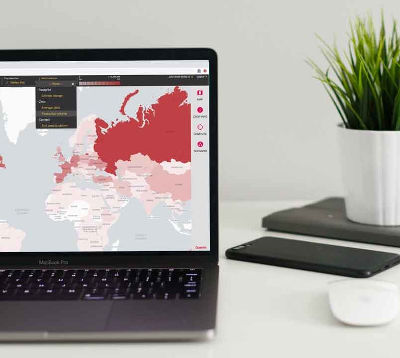
GeoFootprint is a multi-stakeholder initiative launched by Quantis in 2018 in partnership with arx iT and the Cool Farm Alliance and developed with the support from EIT Climate-KIC and leading agrifood companies, as well as advisory inputs from global organizations and academic experts.
It was built with the idea that spatially explicit footprints, calculated at global scale, would facilitate our capacity to measure, understand and monitor how different agricultural practices can accelerate the transition toward more sustainable food, fiber, and material production systems.
To enhance public knowledge on sustainable agriculture, geoFootprint was open-access, making robust environmental data related to key commodity crops available to non-expert audiences, such as students, who may not otherwise have access to this information.

Today’s reality
Quantis has decided to discontinue geoFootprint because it no longer aligns with the current realities of agricultural footprinting. Agricultural footprinting has undergone considerable changes in the short time since geoFootprint was conceived. Though geoFootprint can provide companies with the high-level impact estimations, it is not able to provide the level of granularity in location-specific data that companies require to estimate and monitor the impact of interventions.
What’s next?
Though the sun may be setting on geoFootprint, Quantis is excited about what the future holds. We’re now entering into a new phase of exploration and innovation that will enable us to enhance our land and agriculture footprinting capabilities and tools to better address the key challenges companies face today.
Quantis is currently working on developing tools that can help companies reduce uncertainties related to agricultural footprinting estimations in order to be able to take guided decisions that better reflect the reality of sourcing. This work also includes improvements to emission factor transparency (to explain and help companies improve the way they are doing business), e.g. providing detailed contribution analysis to better understand impact drivers and improvement potentials.
Additionally, Quantis is working on tools that will aid companies in prioritizing interventions (and thus making informed decisions around where to invest their resources for maximum impact) as well as tracking change over time.
If you would like to stay informed on the development of this next generation of tools, get in touch with Quantis.
